


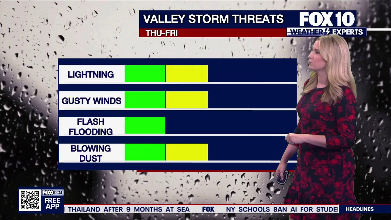
Rain chances are set to rise across Arizona as moisture drawn north from Hurricane Marie reaches the state, bringing the prospect of scattered thunderstorms, flash flooding, strong winds and dust through the coming days.
The hurricane is expected to remain offshore in the Pacific, but its position south-west of Baja California is helping to strengthen the monsoon flow into Arizona. The National Weather Service said tropical moisture would move into the region from Thursday night into Friday, with the greatest impact likely across foothills and higher ground east of Phoenix. ([marine.weather.gov](https://marine.weather.gov/product.php?format=txt&glossary=1&issuedby=PSR&product=AFD&site=BOX&version=2&utm_source=openai))
Marie was classed as a Category 2 hurricane on Thursday, with maximum sustained winds of about 85mph, according to the US National Hurricane Centre. No coastal watches or warnings were in force, and the storm was forecast to track west-north-west over the Pacific rather than make landfall. ([nhc.noaa.gov](https://www.nhc.noaa.gov/archive/2026/ep13/ep132026.public.009.shtml?utm_source=openai))
Arizona storm and flash-flood risk
In the Phoenix area, temperatures are expected to reach about 100F (38C) on Thursday, with a 30 per cent chance of scattered showers developing from late afternoon into the night.
The more active storm zone is expected to be south and east of the Valley, where thunderstorms could produce sudden flooding, damaging gusts and blowing dust. The National Weather Service has warned of an increased risk of excessive rainfall across southern Arizona and parts of south-west New Mexico. ([marine.weather.gov](https://marine.weather.gov/product.php?format=TXT&glossary=0&issuedby=ERD&product=QPF&site=HGX&version=4&utm_source=openai))
Friday is forecast to be slightly hotter, with a high of about 102F (39C). Showers could brush the eastern edge of the Phoenix Valley during the morning before further storms develop in the afternoon or early evening.
Forecasters expect the heaviest rainfall threat to remain concentrated in south-eastern Arizona, where dry ground and fast-moving monsoon storms can cause flash flooding with little warning.
Across Phoenix, the weekend is expected to be partly sunny but humid, with storm chances of between 10 and 20 per cent, mainly during the evening. Highs are forecast to reach 101F (38C) on Saturday and 103F (39C) on Sunday.
Temperatures could climb to 104F (40C) on Monday, September 7, before returning to about 105F (41C). Another increase in moisture and storm activity is possible from Wednesday, September 9, or Thursday, September 10.
Safety advice as monsoon conditions build
Arizona authorities have urged residents to limit strenuous outdoor activity during the hottest part of the day, drink water before and during exercise, and check on vulnerable friends, relatives and neighbours.
Drivers have been warned not to enter flooded roads or washes. Emergency services advise people to turn around if water covers a roadway and to move to higher ground if floodwater begins rising around a vehicle.
Residents are also being advised to keep torches, spare batteries, drinking water, a first-aid kit and backup power supplies available. Downed power lines should not be approached, as surrounding ground may remain energised.
