


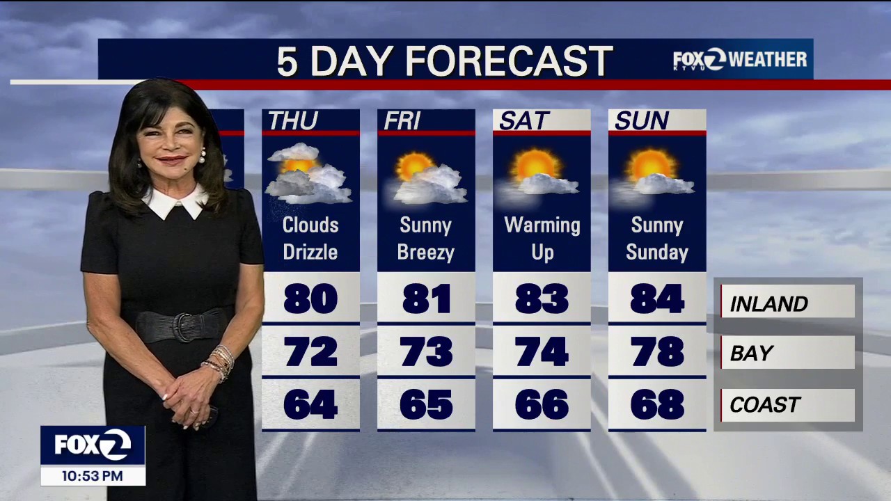
Light rain is expected to reach the North Bay by Wednesday morning as an unusually deep marine layer keeps temperatures across Northern California well below seasonal levels.
The first band of rain and coastal drizzle was approaching overnight, with the heaviest falls forecast for the North Bay coastal ranges. Santa Rosa and the Sonoma valleys could receive about 0.10in of rain, while the higher terrain may record more than 0.25in.
Rainfall is expected to become much lighter further south. San Francisco and the South Bay are likely to see little more than patchy drizzle, with amounts decreasing markedly away from the North Bay.
A second disturbance moving in from the north-west on Wednesday night is expected to increase the chance of light rain across the wider Bay Area by Thursday morning.
The National Weather Service’s San Francisco office said the region would remain cooler than average through the week, with the best prospects for beneficial rain concentrated in the North Bay through Thursday. ([marine.weather.gov](https://marine.weather.gov/product.php?format=CI&glossary=0&issuedby=MTR&product=AFD&site=HGX&version=1&utm_source=openai))
Weather balloons measured the marine layer at about 5,200ft on Tuesday evening — close to the maximum depth at which the layer can retain its structure. Forecasters said the unusually deep blanket of cool, moist air was allowing cumulus clouds to form within the fog deck.
If the marine layer remains intact overnight, the area could experience a rare “double inversion” pattern, in which separate layers of warmer air sit above the cool air trapped near the surface. ([marine.weather.gov](https://marine.weather.gov/product.php?issuedby=MTR&product=AFD&site=BOX&utm_source=openai))
Forecast guidance indicates that drizzle and light rain could linger in parts of the Bay Area into Friday, while onshore winds and below-normal temperatures continue.
