


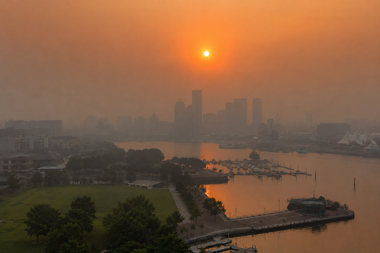
Temperatures in the Baltimore area could hit 101F on Wednesday — one degree shy of the record — while a plume of Canadian wildfire smoke is expected to lower and thicken into Friday
Maryland is bracing for a dangerous combination of extreme heat, humidity and deteriorating air quality, with the WJZ First Alert Weather Team declaring First Alert Weather Days for Wednesday and Thursday across much of the central and eastern parts of the state. Temperatures in the Baltimore metro area are forecast to reach 101F on Wednesday 15 July, just one degree short of the record of 102F set in 2024. Smoke drifting from Canadian wildfires is expected to worsen conditions through Friday, and poor air quality may linger into the weekend even as the heat eases.
Heat peaks on Wednesday and Thursday
The heatwave is due to peak on Wednesday into Thursday. After Wednesday’s near-record highs, Thursday will bring more heat and humidity, with temperatures climbing into the upper 90s and feels-like values ranging from 100F to 105F once the humidity is factored in.
Wednesday is expected to stay completely dry, but an isolated thunderstorm or two could pass through on Thursday afternoon and evening. Any rain is not forecast to be long-lasting or widespread, though a few storms remain possible through the mid-evening.
Forecasters urged residents to follow hot-weather precautions: taking breaks in air conditioning, drinking plenty of water, avoiding direct sunshine during the hottest part of the day, and checking on children, the elderly, pets and people with medical conditions.
Wildfire smoke set to lower and thicken
Air quality is forecast to become an increasing concern from Wednesday through Friday. Code orange alerts are in effect on Wednesday along and near the I-95 corridor because of high levels of ground-level ozone, and conditions may deteriorate further from late Wednesday evening across central and especially northern Maryland as a plume of Canadian wildfire smoke moves into the region.
The smoke is suspended safely above the ground on Wednesday, but the plume is likely to lower and thicken on Thursday into Friday, making it hazardous to breathe — particularly for people with respiratory or other medical conditions. The WJZ team warned the situation could become more serious for more people if proper precautions are not taken, and said further updates would follow.
The smoke is part of a wider event affecting much of the Great Lakes states, New England and the northern Mid-Atlantic. Friday itself will not be as hot or humid, with highs in the mid-90s and lower humidity, but air quality could remain a significant concern with the plume nearby.
Strong storms possible at the weekend
A warm and very muggy weekend lies ahead, with the potential for gusty, heavy thunderstorms — especially on Saturday afternoon and evening. Highs will top out in the upper 80s to near 90F, though heat index values on Saturday afternoon may reach 95F to 101F before any storms bring cooling relief. Saturday’s storms could produce damaging winds, torrential downpours and frequent lightning.
One key uncertainty is how much wildfire smoke remains in the air by Saturday. If concentrations stay high, thunderstorm activity may be suppressed, leaving fewer neighbourhoods with rain. Sunday may see a few isolated to widely scattered showers and storms, but it is expected to be the drier and more settled day of the weekend.
