


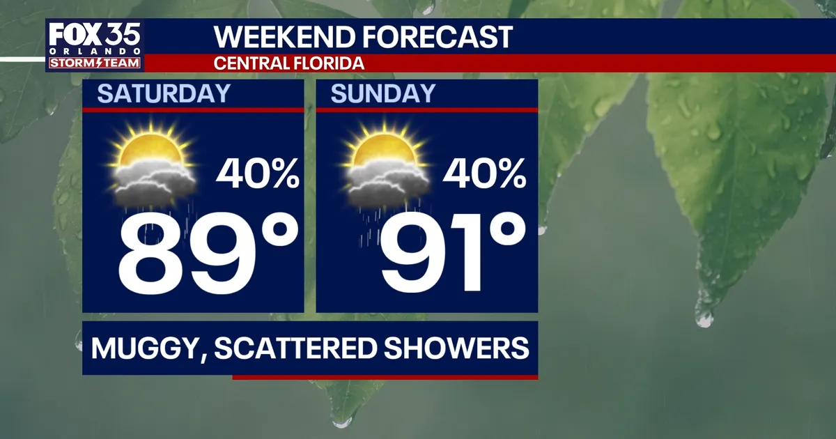
Orlando is facing a muggy weekend of scattered thunderstorms before a stalled front brings a much wetter spell to Central Florida from Monday, with heavy rain and localised flooding possible.
Showers and storms are most likely during the afternoon and evening on Saturday and Sunday, particularly between about 2pm and 10pm. The heaviest activity is expected to develop west and south-west of Orlando, although forecasters said neither day should be a complete washout.
Temperatures are expected to reach the upper 80s Fahrenheit inland on Saturday, with slightly cooler conditions along the coast. Sunday will be hotter, with inland highs reaching the low 90s and coastal areas approaching the upper 80s.
The National Weather Service in Melbourne said rain chances would increase sharply next week as a cold front stalls over the region. Its latest forecast places the chance of rain at about 80 to 90 per cent in the Orlando area from Monday through Wednesday.
Heavy rain could cause minor flooding
Repeated bands of showers and thunderstorms are expected to move across Central Florida, bringing the risk of intense downpours, lightning and gusty winds. The weather service said some storms could produce wind gusts of up to 35 to 45mph.
Low-lying locations and areas with poor drainage could see minor flooding, while the Weather Prediction Center has placed parts of east-central Florida under a marginal risk of excessive rainfall for Tuesday.
Between two and four inches of rain could fall across the region over the next seven days, with isolated totals of five inches or more possible where storms repeatedly track over the same locations.
Despite the unsettled forecast, no tropical activity is expected in the Atlantic region affecting Florida over the next seven days.
