


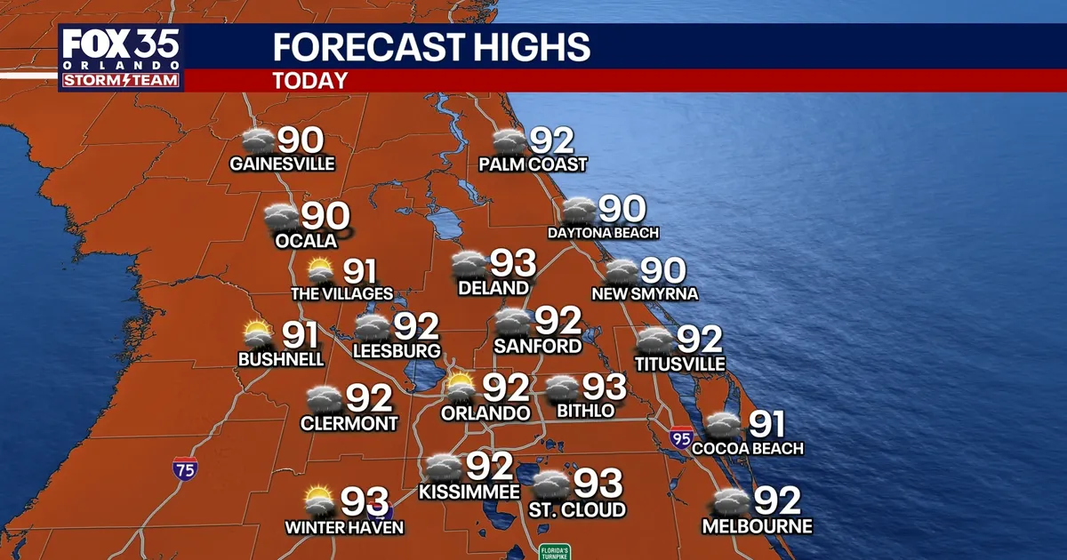
Storm chances will remain high across Orlando through the Labor Day weekend, with scattered thunderstorms expected to develop during the afternoon and evening as sea breezes collide over central Florida.
Saturday is forecast to bring a roughly 60% chance of showers and storms, with lighter winds allowing the sea-breeze boundary to push further inland. Temperatures are expected to reach between 91F and 93F, while humidity could make it feel as hot as 105F to 106F during the afternoon.
The National Weather Service forecast for the Orlando area indicates that storms are most likely later in the day, with showers easing after sunset. Some locations could see between a quarter and half an inch of rain, although higher totals are possible in thunderstorms.
Sunday expected to be the driest day
Drier air moving into the region on Sunday should temporarily reduce the risk of storms to about 20%, making it the more settled day of the holiday weekend. A few showers and thunderstorms will still be possible, but most of the area is expected to remain drier.
Conditions are likely to turn wetter again from Monday, when deeper moisture spreads into central Florida ahead of a cold front. Rain and thunderstorm chances are forecast to rise to around 70%, with more widespread afternoon and evening storms continuing into the middle of next week.
The National Weather Service is forecasting temperatures close to seasonal levels, with highs near 90F on Monday and Tuesday. Storm chances could remain around 60% on Wednesday before easing towards 40% by Thursday or Friday.
Despite the unsettled weather, the Atlantic basin is currently quiet. The National Hurricane Center said on Friday, September 4, that tropical cyclone formation was not expected in the Atlantic, Caribbean Sea or Gulf of America during the following seven days.
