


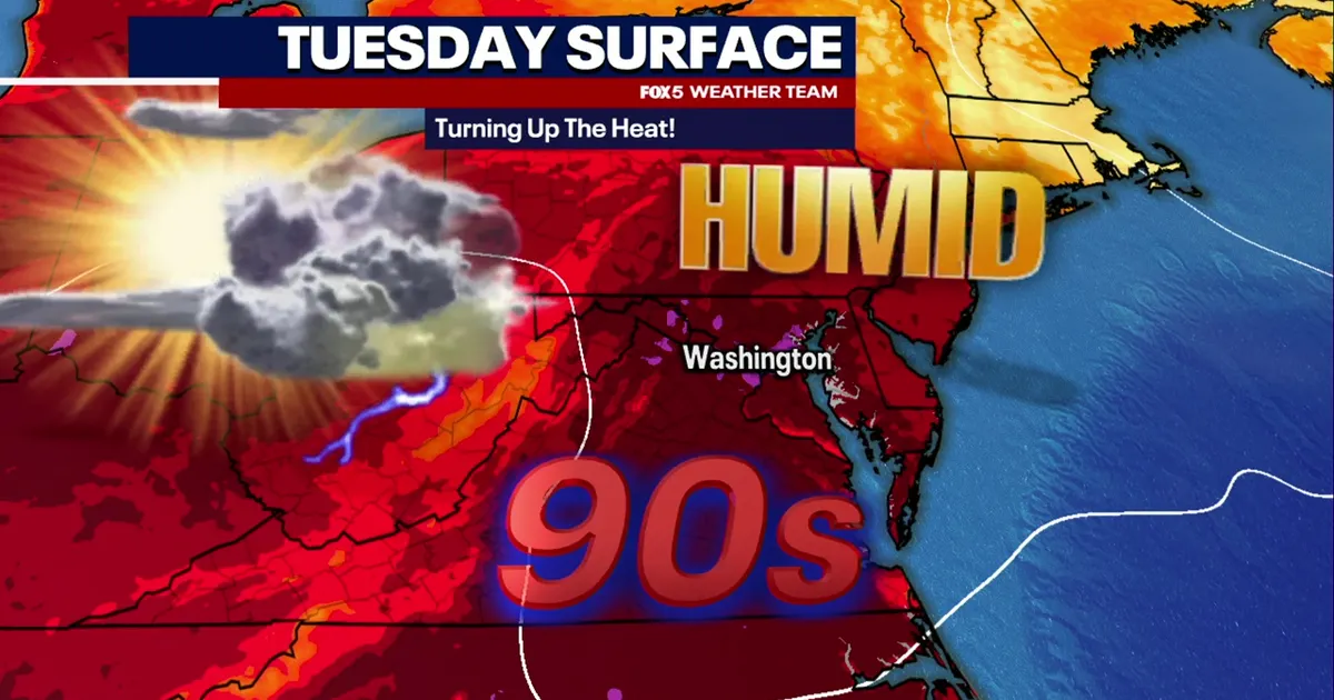
Washington DC is set for a hot and humid Tuesday, with temperatures forecast to reach about 97F (36C) and the heat index climbing to around 101F (38C), while isolated showers and thunderstorms could develop later in the day.
The National Weather Service said conditions would be mostly sunny through the morning, although humidity will remain high. The chance of rain is expected to increase during the afternoon and evening, with storms possible into the early hours of Wednesday. ([forecast.weather.gov](https://forecast.weather.gov/MapClick.php?FcstType=digital&lat=38.9052&lg=english&lon=-77.0414&unit=0&utm_source=openai))
Most areas are likely to stay dry, but any storms that form could bring damaging wind gusts and hail. The Baltimore-Washington office of the weather service said severe thunderstorms were possible across parts of the mid-Atlantic on Tuesday, while near-record heat could persist through Thursday. ([weather.gov](https://www.weather.gov/lwx?utm_source=openai))
Forecasters said the heat could be close to the daily record for Washington, which stands at 99F (37C) for 1 September. Wednesday is expected to be slightly cooler, although temperatures should remain in the 90s and further thunderstorm chances are forecast. ([forecast.weather.gov](https://forecast.weather.gov/product.php?format=TXT&glossary=0&issuedby=LWX&product=AFD&site=LBF&version=1&utm_source=openai))
Showers and thunderstorms are likely to remain a recurring risk through the remainder of the working week, with the National Weather Service forecasting highs of about 93F (34C) on Thursday and 92F (33C) on Friday.
Conditions are expected to improve for the Labor Day weekend, with more sunshine, lower humidity and temperatures returning to the 80s.
